Pithoragarh District : Things to do in Pithoragarh District | Places to Visit in Pithoragarh District | Pithoragarh District News
Pithoragarh is the easternmost district in the state of Uttarakhand, India. Its headquarters is the city of Pithoragarh located in the Solar Valley. It comes under the Kumaon Division of the state of Uttarakhand.
The Tibet Plateau is located in the north and Nepal in the east. Pilgrimages to Mount Kailash and Mansarovar Lake have to pass through the district. Pithoragarh is also one of the most developed districts in Uttarakhand, the city has all the modern facilities including an airport.

The district is named after its headquarters Pithoragarh. The city of Pithoragarh is situated at an altitude of 1645 meters above sea level. Pithoragarh district was formed on 24 February 1960.
Area of Pithoragarh District
Pithoragarh district is spread over an area of 7,217 square kilometers. The district shares its borders with Pithoragarh, Almora, Champawat, Bageshwar and Chamoli districts.

Administrative setup of Pithoragarh District
The district has 11 tehsils, 8 blocks, 64 Nyaya Panchayats, 690 gram panchayats and 1657 villages. Munsiyari, Dharchula, Didihat, Gangolihat, Pithoragarh, Berinag, Ganai Gangoli, Bangapani, Thal, Kanalichina and Devalathal are tehsils of the district.

Constituency of Pithoragarh District
Almora is the Lok Sabha constituency seat of the district. Dharchula, Didihat, Pithoragarh, Gangolihat are the assembly seats in the district.

Population of Pithoragarh District
According to the 2011 census Pithoragarh district had a population of 6,62,149. Pithoragarh district has a sex ratio of 1021 females for every 1000 males. Kumaoni is the most spoken language of the district.

Economy of Pithoragarh District
The economy of the district is mainly dependent on agriculture. Paddy, Jhangora, Maize, Mandua, Pulses, Wheat, Barley, Linseed and Mustard are cultivated here. The important rivers flowing in the district are Saryu, Ramganga, Gawri, Kali, Dhauli and Kuti. Minerals like magnesium, copper, limestone and slate are found in the district.

Education in Pithoragarh District
The literacy rate of the district is 82.93%. Soar Valley Public School, Maharishi Vidya Mandir, ARMY PUBLIC SCHOOL, New Beersheba Senior Secondary School, KENDRIYA VIDYALAYA, Government P G College, Government Polytechnic College are some of the best educational institutions in the district.
Travel attraction in Pithoragarh District
Some of the attractions of the district are Askot Musk Deer Sanctuary, Dharchula, Didihat, Patal Bhubaneswar, Dhwaj, Jauljibi, Rai Cave, Munsiyari, Madkot, Adi-Kailash, Narayan Ashram, Pithoragarh Fort, Kapileshwar Mahadev, Thal Kedar, Nakuleshwar Temple, Jhula Mandir etc. Is the center.
 |
| Dharchula |
How to reach Pithoragarh
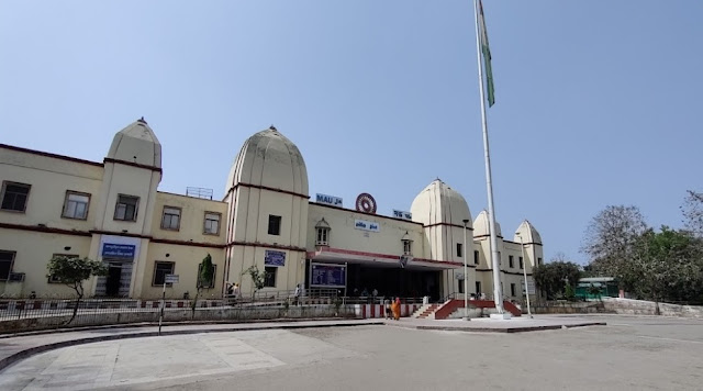
Pithoragarh is not present by any direct train services, although it is well connected by road, and there is also an airport. National Highway 9 passes through Pithoragarh. Pithoragarh Airport, also known as Naini Saini Airport, is located about 5 kilometers north-east of the city.
 |
| Pithoragarh Airport |
Pantnagar Airport is also the nearest airport in the district. This airport is about 241 km away from Pithoragarh. The nearest railroad to Pithoragarh is located at Tanakpur. The total distance from Tanakpur railway station to Pithoragarh is about 138 kilometers.


Comments