Hailakandi
Hailakandi district is a district in the state of Assam with its administrative headquarters located in the town of Hailakandi. According to some historians the name of the district comes from the 'Kuki' word 'Halam' which means a small state and the word 'Kundia' meaning a plot of land for temporary tillage. Hailakandi was declared as a sub-division of Assam on June 1, 1869. Hailakandi was then declared as a civil sub-division under Cachar district. Although Hailakandi has adopted a modern lifestyle today, it is still rich in cultural heritage and tradition. Some such records still exist in the district which prove that this district also participated in the freedom movement of India. In the year 1989, the place of Hailakandi emerged as a separate district on the map of the state of Assam.
Attractions
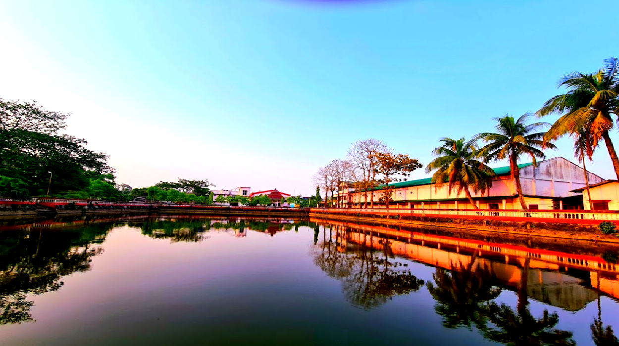
The district has many centers of attraction which attract many travelers coming from different parts of the country and the world. Hailakandi is fortunate enough to be blessed by nature as it has vast fertile land and a winding river. Some of the notable sightseeing places in the district are Siddyashar Bari Sibmandir at Badarpur Ghat, Pach Peer Muqaam in South Hailakandi, Kali Mandir, Hailakandi Shiva Bari and Hanuman Mandir. You can enjoy the pleasant climate throughout the year. The best time to visit Hailakandi is considered to be between the months of October to March.

How to reach
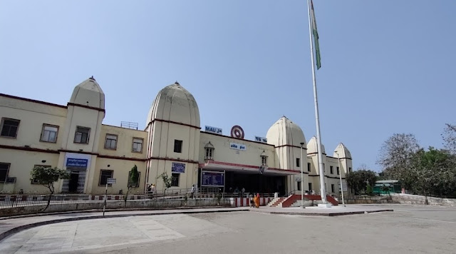
Earlier the only mode of transport to this place was water. But with the changing times, a lot of positive changes have been made in the transport and communication system of the district. Hailakandi is well connected to the rest of the country by air, road and railway. The nearest airport is Kumbhirgram and the railway station is Hailakandi and Badarpur. Also, direct buses run between Hailakandi and other places, the state capital Dispur, Guwahati is about 330 km from the district headquarters and is well connected by day and night bus service.

Area
The geographical area of the district is 1,327 sq. km. and it is bounded by Cachar and Karimganj districts and the state of Mizoram. The district has only one sub-division, named Hailakandi. It also consists of 4 revenue circles like Hailakandi, Algapur, Katlichera and Lala. Moreover, it is divided into 4 sub-districts, 3 towns and 331 villages.

The population of the district is 6,59,296 as per the 2011 census. The sex ratio in the district is 951 females per 1000 males. The major language in the district is Bengali with 84.72%.
Economy
The economy of the district is mainly dependent on the agricultural sector. More than half of its population is engaged in agriculture to earn their livelihood. Paddy and rice are the two most important agricultural crops of the district. A major portion of the revenue coming from agricultural products to the district every year helps its economy to a great extent. The contribution of Hindustan Paper Mill Panchgram to its economy is noteworthy as it provides a large number of employment opportunities to its natives.

Education
The literacy rate of the district is 74.33%. The district is known to be the abode of many prestigious educational institutions. It provides a platform for higher education. Some of the most recognized educational institutions in the district are Abdul Latif Chowdhury College, Adarsh Central School, Hailakandi Govt. Public High School, Indra Kumari Girls High School, Mainul Haque Chowdhury Memorial Science College, Sashi Bushan Institute of Open Learning College, Sanskrit College, Srikishan Sarada College, etc.


Comments